

Piché-Dufrost Elementary School
Client / Collaborator
COEX Architecture | CSSDGS
Sector
Architecture, Éducation, Institutionnel
Location
Saint-Constant
Services
Relevé LiDAR, Relevé par drone
Mandate
Document the Piché-Dufrost Elementary School in great detail, with a high level of detail and reliable spatial consistency between interior spaces, circulation areas, and the basement. The goal is to produce a digital twin that can be used for measurement, coordination, and the production of a Revit model.
Proposition
In order to guarantee a high level of accuracy and perfect consistency between the interior, exterior, and terrain, we implement a hybrid methodology structured around a primary control network.
Control network and coordinate system
Une multitude de points de contrôle est capturée pour établir un système de coordonnées local du bâtiment. Ces points servent ensuite à contraindre et stabiliser les autres acquisitions, afin d’éviter toute dérive et d’assurer une intégration cohérente entre jeux de données.
LiDAR mobile (SLAM) contraint par points de contrôle
Mobile LiDAR scanning is performed to capture the entire interior of the building. It is linked to control points to eliminate drift and maintain overall accuracy, even across multiple rooms and levels..
Drone photogrammetry for roofs
A drone survey is carried out using a high-resolution camera and centimeter-accurate GPS to document the roofs. The point cloud generated from the images is constrained by control points from the LiDAR to ensure reliable geometric correspondence between the roof and the building envelope..
Deliverables
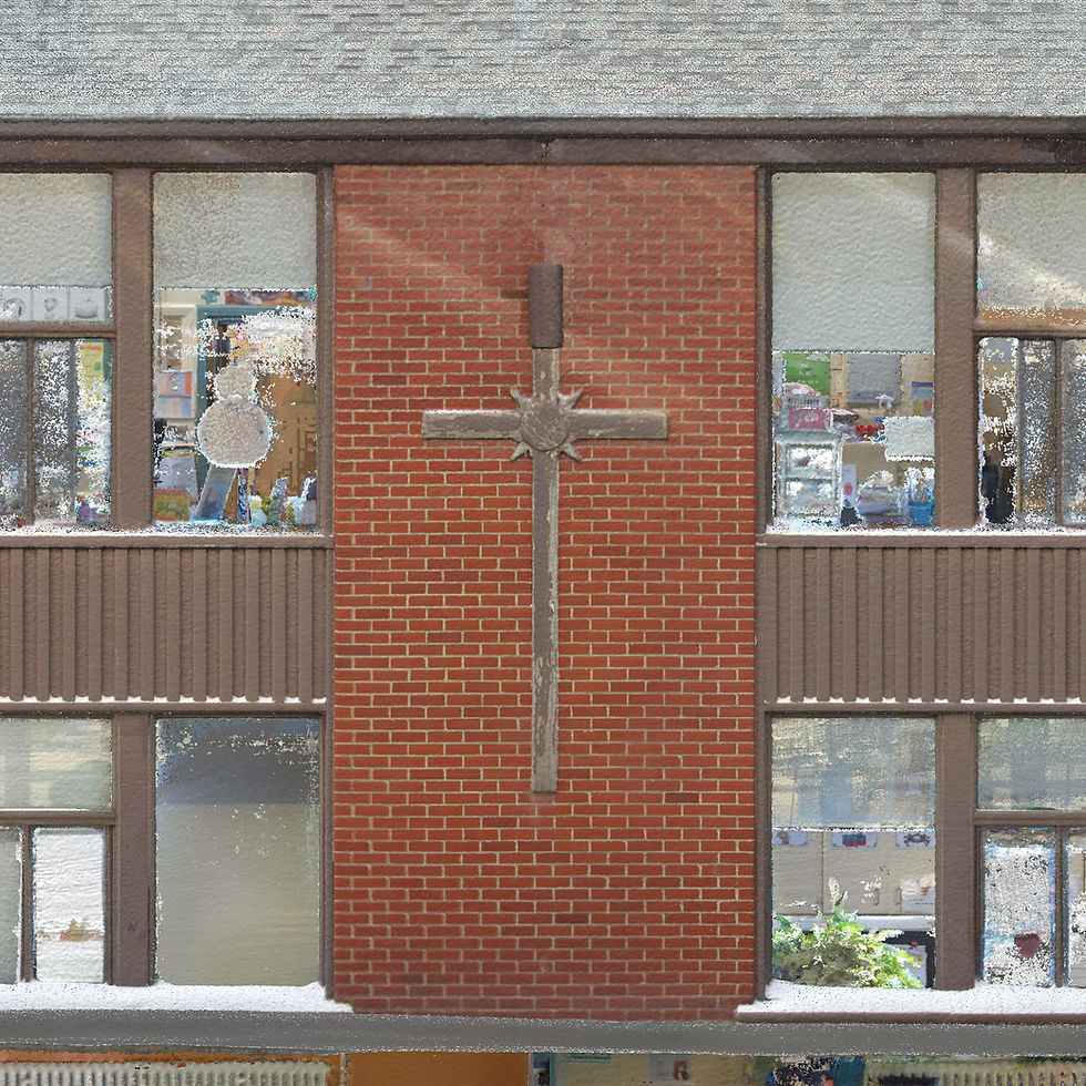
Point cloud in colour
A unified point cloud serves as a basis for measurement, coordination, and drawing. It allows you to check alignments, record details of the envelope, and navigate interior spaces with a stable metric reference..
Virtual visit online
A virtual tour accessible to all professionals working on the project, allowing them to measure, comment on, and navigate through the complete point cloud. The virtual tour also includes hundreds of panoramic images revealing every detail inside the building..


X-Ray style drawings
To facilitate the production of CAD drawings, we have generated scaled X-ray-type images. Each pixel in the images corresponds to 3 mm in reality. This greatly facilitates importing into AutoCAD or Revit, scaling, and producing drawings..
The depth of each drawing is different in order to display the necessary information..


