

Residential building
Client / Collaborator
Colhmeyer Architecture
Sector
Architecture, Résidentiel
Location
Private
Services
Relevé LiDAR, Relevé par drone, Photogrammetrie, BIM, Modélisation Revit
Mandate
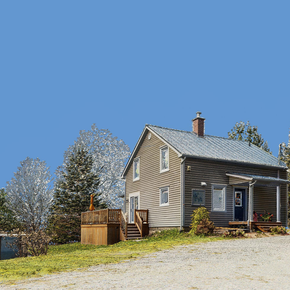
As part of this residential project, DGTL was commissioned to perform a detailed 3D scan of the building and create a Revit digital twin. In this context, Colhmeyer Architecture entrusted us with the 3D capture of the interior, exterior, and terrain of the residence to produce an accurate documentation base for the architectural team.
The point cloud generated from this digitization will serve as a reference for the architects when modeling the project in ArchiCAD, providing them with a faithful and accurate representation of the existing conditions.
Mandate
As part of this residential project, DGTL was commissioned to perform a detailed 3D scan of the building and create a Revit digital twin. In this context, Colhmeyer Architecture entrusted us with the 3D capture of the interior, exterior, and terrain of the residence to produce an accurate documentation base for the architectural team.
The point cloud generated from this digitization will serve as a reference for the architects when modeling the project in ArchiCAD, providing them with a faithful and accurate representation of the existing conditions.
Proposition
GNSS Georeferencing and Control Network
We measure control points using a high-precision GNSS system to establish a robust anchor to the project’s coordinate system. Control points placed on the envelope are then measured with a high precision and high accuracy total station to limit LiDAR and drone photogrammetry drift to only a few millimeters. Those points are also attached to the georeferencing previously provided by the GNSS.
This step ensures a stable reference for all data acquisitions.
Mobile LiDAR (SLAM) Interior and Exterior
A SLAM-type LiDAR survey is conducted both indoors and on the surrounding site to obtain a comprehensive and detailed representation of the existing conditions. The SLAM data is then registered and adjusted using the control network to ensure a consistent, usable dataset tailored to the architects’ needs.
This method enables a quick and efficient survey.
Drone Survey
A photogrammetric survey is carried out using a drone equipped with a high-resolution camera, allowing for the documentation of the building’s roof, which is difficult to access from the ground.
The ground is also captured by drone to complete the areas that could not be surveyed with the mobile LiDAR, particularly due to dense vegetation. Over the course of multiple pre-programmed flight missions, 2,800 images are captured from various angles and are then tied to the primary control network. These images are used to create a point cloud that accurately represents the observed surfaces
Point Cloud Assembly
Using control points from mobile LiDAR and drone photogrammetry, we merge the point clouds generated by each technology to produce a single, comprehensive point cloud.
This approach produces a unified, consistent, and continuous dataset while ensuring optimal coverage of the entire building.
Point Cloud Classification
We classify the point cloud, which involves grouping the individual 3D points in a point cloud and into different categories, such as buildings, vegetation, terrain, etc. By distinguishing and grouping these elements, the dataset becomes easier to analyze, allowing users to quickly extract the information most relevant to their project.
Deliverables
Colour Point Cloud
Delivery of a colour point cloud generated from mobile LiDAR and photogrammetric data, covering the interior, the exterior and the site of the residential project .Constrained by the control network, it provides an accurate and reliable measurement basis for analyses, inspections and any future work.
Revit Model LOD 200
A digital twin at LOD 200 is provided. The 3D model offers the architectural team a clear, structured, and directly usable digital representation.
The LOD 200 level of detail allows for the consistent representation of the building’s systems, volumes, and components, while supporting design work, interdisciplinary coordination, and project progress. The model also includes the terrain, generated from LiDAR data along with the contour lines from the topographic survey.
Quality Report
An 18-page quality report details all fieldwork and post-processing stages. It outlines the methodologies and technologies used throughout the project. The report also includes images taken during the survey, tables showing target positions, and comments on weather conditions.


